
Equipment selection guide
Automatic Weather Stations for Farms: Compact or Modular?
Choose weather measurements, sensor positions and records for a field, orchard or nursery. Compare a compact instrument with separate wind, air, rain, radiation and soil sensors.
Equipment photographs: SG-WS-163. Equipment and connection diagrams.
Compare individual equipment specifications ↓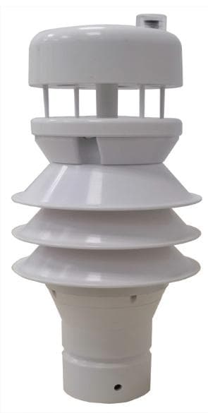
1. Purpose
Choose the measurements and equipment layout before ordering an automatic weather station.
2. Suitable sites
Fields, orchards, nurseries, irrigation areas and the outdoor reference point beside a greenhouse.
3. What to send
Send the required measurements, site layout, available power and destination system for an equipment selection review.
Which readings does your farm need?
Send the country, crop area, measurements and station count. Add the existing logger details or the way your team needs to collect the records.
Weather, soil and water volume answer different irrigation questions
Combine the weather record with root-zone observations and the water delivered to the crop area.
Estimate weather demand
How much water is the weather taking from a reference crop?
Air temperature, humidity, wind and solar radiation are the weather inputs for a reference evapotranspiration (ET0) estimate. FAO-56 uses wind at a 2 m reference height, with site location and elevation.
Air and wind instruments, a solar-radiation channel and a compatible logger.
Follow the root zone
How is the soil changing before and after watering?
Place soil-moisture probes at the selected rooting depths and follow the trend before and after irrigation. Record rainfall alongside the weather data. Crop stage, soil and irrigation method belong in the crop adviser’s plan.
Soil-moisture probes, a rain gauge and matched collection inputs.
Measure water delivered
How much water passed through the irrigation pipe?
Record the flow-meter volume and relate it to the area watered. Compare run volume and average irrigation depth, then keep these measurements with the crop-zone record.
A flow meter selected for the pipe, water and operating flow range.
Measurement planning illustration. The weather record, soil response and pipe volume describe separate parts of the irrigation decision.
Reference ET0 describes a standardized grass surface. Crop-specific irrigation planning also uses crop stage, root-zone conditions, rainfall and the irrigation method.
- FAO-56: reference evapotranspiration and crop conditions
- FAO-56: weather data and measurement heights
Choose one instrument or plan the measurement points together
Buy one instrument or request a farm equipment list. Send the country, crop, irrigated area, measurement points, existing controller, power and network. SunGene matches the equipment and agreed data connections; local teams handle mounting and wiring.
Request weather and irrigation equipmentWhen to use this guide
Select a new farm weather station or extend the instruments connected to an existing logger. Choose the crop-area measurements, sensor positions, data connection, power and maintenance access together.
Individual equipment specifications
Wind, rain and outdoor air instruments
Compare individual instruments for a new farm station or an existing logger. Match the selected outputs, supply and mounting to the measurement point.
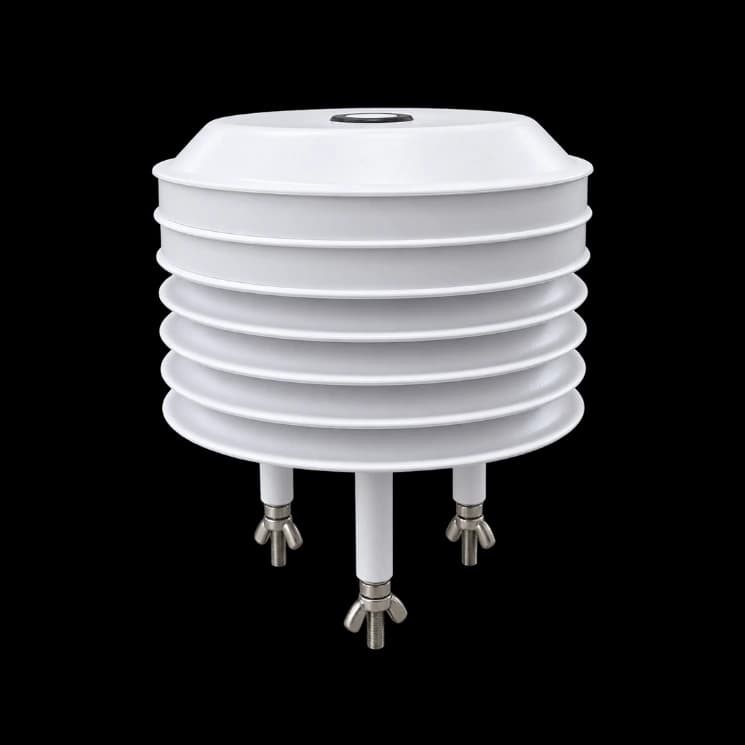
Outdoor air and light
RS485 Modbus temperature, humidity and optional illuminance sensing in a seven-layer radiation shield. 9–30 VDC power and a 10 m cable.
View specifications and connection options →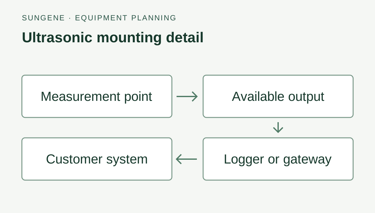
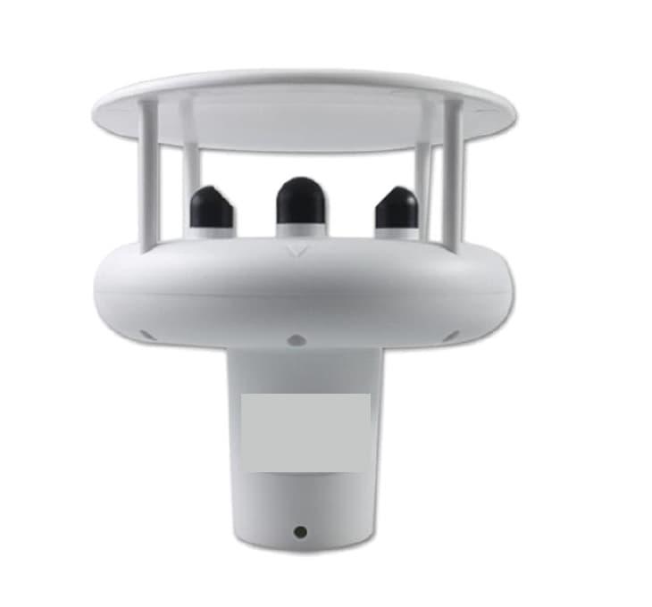
Ultrasonic wind and weather
Ultrasonic wind measurement with RS485 Modbus, 45 or 70 m/s ranges and optional weather channels on the 45 m/s version. IP65 and 9–30 V supply.
View specifications and connection options →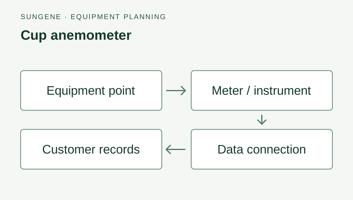
Cup and vane wind sensors
Cup wind-speed and wind-direction sensors with RS485 Modbus RTU. Separate or combined mounting, 0–70 m/s wind-speed range and 12–24 VDC supply.
View specifications and connection options →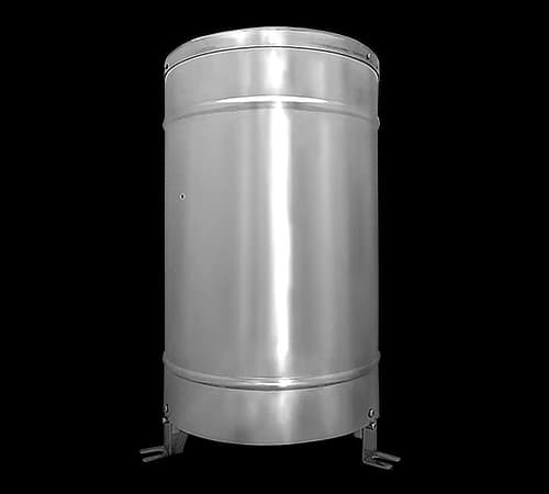
Stainless-steel rain gauge
Stainless-steel tipping-bucket rain gauge with RS485 Modbus RTU, 0.5 mm resolution and rainfall totals from 10 minutes to 24 hours. 9–36 VDC supply.
View specifications and connection options →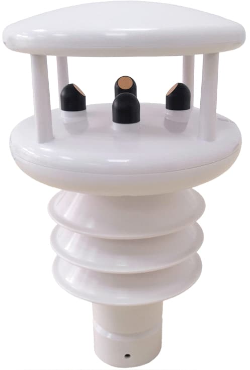
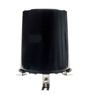
Product photograph
Pictured: SG-WS-162 — Ultrasonic All-in-One Automatic Weather Station.
See where the system fits
Keep rainfall records useful through an outage
Agree measurement timestamps, local storage and recovery before selecting a station.
Read the guide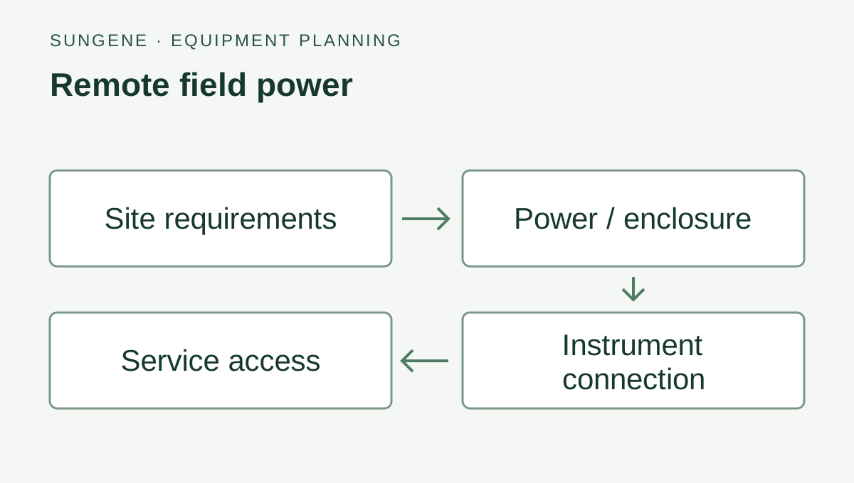
Keep remote measurement points supplied
Size field power around the final equipment load, seasonal sunlight and visit interval.
Read the guideStart with the decision at the site
An irrigation team can compare rain, wind and air conditions with separate root-zone readings. Orchard staff can keep a local rain record beside the crop area. A greenhouse can have an outside weather point and separate measurements inside the growing zone. List the readings and locations before selecting the instruments.
Compact or modular weather station?
A compact instrument groups selected measurements in one assembly. A modular station uses separate sensors connected to a logger or field interface, allowing their positions, replacement and calibration to be planned individually. Compare mounting requirements, access for service and the channels actually installed. Measurement accuracy follows the specified instruments and installation.
Keep rain, solar radiation and soil measurements distinct
A precipitation channel does not imply a solar-radiation channel. Irradiance in W/m² and illuminance in lux are different measurements. Soil moisture, temperature and EC require a suitable soil probe and installation depth; an air-weather instrument cannot supply those readings. For rain, specify whether the receiving system needs intensity, an accumulated total or a total for a defined period.
Connection details and commissioning checks
Plan the equipment and data connection
Measure at the farm
Wind, rain, air, light or soil instruments selected for the growing area.
Match the connection
Logger inputs, instrument power and the required local or remote data path.
Use the readings
Weather records tied to the station, measurement time and farm task.
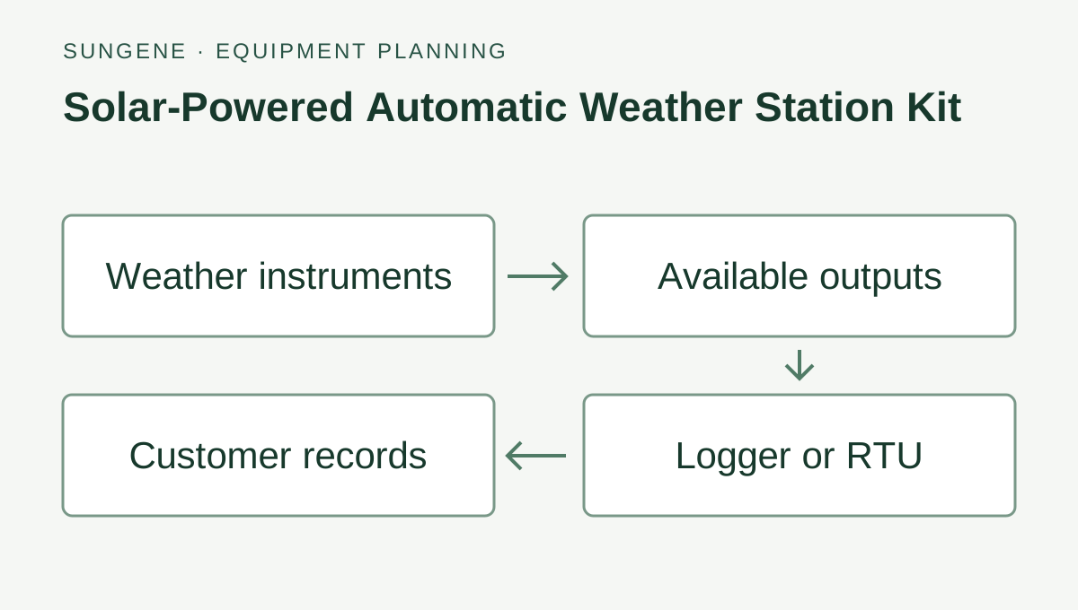
Example equipment and data path. Select each instrument, receiver, power supply and receiving interface as part of the equipment list.
Place each weather measurement where it belongs
A modular station allows separate placement of wind, rain, air and soil instruments. Match each selected output and power supply to the logger; include mounts, cable routes and service access in the equipment request.
Request farm weather-station equipmentSelection worksheet
Weather-station equipment selection worksheet
Air conditions and wind
- Equipment to compare
- Compact weather instrument or separate air and wind sensors
- Confirm before ordering
- Installed channels, exposure, orientation and required accuracy
Rain
- Equipment to compare
- Selected precipitation channel or a separate tipping-bucket gauge
- Confirm before ordering
- Intensity versus period total, output, levelling, cleaning and any heater
Solar radiation
- Equipment to compare
- Selected radiation channel or a dedicated pyranometer
- Confirm before ordering
- Irradiance units, instrument class, mounting plane and calibration needs
Show the remaining worksheet rows
Key points
- Choose measurements from the site's operating decisions
- Compare compact and separate-sensor layouts
- Specify rain, irradiance and soil channels separately
- Check the complete connection, power and maintenance plan
Technologies
- Automatic weather stations
- RS485
- Modbus RTU
- SDI-12
- LoRaWAN
- Cellular telemetry
Related pages
Official technical references
Protocol specifications for the connections described in this guide.
FAQ
What is the difference between a compact and a modular automatic weather station?
A compact instrument groups selected measurements in one assembly. A modular station connects separate sensors to a logger or field interface. Choose between them from sensor exposure, installation space, service access, replacement needs and the channels required; the layout alone does not determine accuracy.
Does a weather station include rain, solar radiation and soil measurements?
Only the ordered channels are included. The solar weather-station kit on this site has a six-variable core for wind speed, wind direction, air temperature, humidity, pressure and rainfall. Radiation and soil measurements require separately selected channels or probes; they are not implied by the station name.
Should I choose an integrated precipitation channel or a tipping-bucket rain gauge?
Compare the measurement method with the rainfall record you need, then check the ordered resolution, output, mounting, cleaning and freezing conditions. A separate tipping-bucket gauge needs levelling and a clear collector. An integrated precipitation channel must be reviewed against its own specification; performance cannot be borrowed from another rain sensor.
Can the station send readings to an existing Modbus logger or an online platform?
A selected RS485 Modbus RTU configuration can be reviewed with the existing logger. For remote delivery, select a compatible LoRaWAN field path or cellular logger or RTU, then agree the data format and destination. RS485, RS232 and SDI-12 are ordered interface choices, not simultaneous default outputs.
How often should a weather station update and report its readings?
Define the sensor update, logger polling, averaging and reporting intervals separately. A fast sensor update does not guarantee the same remote reporting interval. Rain totals, timestamps, missing data and duplicate reports also need an agreed meaning at the receiving system.
What information is needed for a weather-station quotation?
Provide the application, country, required measurements and accuracy, site layout and obstructions, mounting plan, available power and network, update and reporting needs, receiving system, service access, quantity and project timing. Include calibration or acceptance documents required by the project.
Which weather measurements support an ET0 estimate?
The FAO-56 Penman–Monteith method uses air temperature, humidity, radiation and wind data, with site location and elevation. Wind is expressed at a 2 m reference height. Select the required channels, mounting and logger outputs together, and use a suitable calculation method for the receiving application.
How do weather, soil and flow measurements fit an irrigation equipment plan?
Weather records support reference evapotranspiration estimates, soil probes show root-zone changes, and the flow meter records water passing through the pipe. Combine them by crop zone and measurement time. SunGene supplies individual instruments and plans equipment lists and agreed data connections; crop advisers set the crop-specific irrigation plan.
Get selection help
Tell us what you want to measure and where. Send a model number or site photo if you have one.